
Sattva Ekatra Map
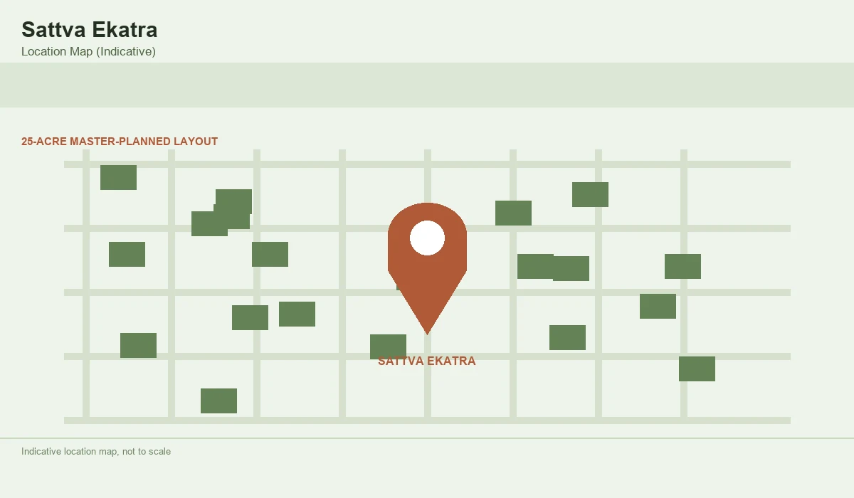
The Sattva Ekatra Map provides a clear, accurate guide to this 25-acre luxury plotted township on Doddaballapur Main Road, North Bangalore. This official map shows buyers the exact layout of over 300 premium plots, ranging from 1,200 to 2,400 square feet, surrounded by 40% open green space. It also highlights strategic travel routes, placing the community just 300 meters from the STRR expressway and a quick 33-minute drive from Kempegowda International Airport. The map gives you a complete visual overview of plot positions, internal roads, and the central 30,000 sq. ft. clubhouse before you invest.
Checking both the location map and the master plan is the best way to see the true value of this property. Below is a simple guide on the location connectivity, travel times, and the internal community layout.
1. The Location Map: Daily Travel and Connectivity
The regional location map places Sattva Ekatra right on Doddaballapur Main Road, North Bangalore (Pincode: 561203). This area offers a perfect mix of peaceful green living and high-speed city connectivity. The map highlights fast access to major roads and upcoming public transport lines.
Here is a quick look at the travel distances and times shown on the map:
| Destination / Hub | Distance on Map | Estimated Travel Time |
|---|---|---|
| STRR (NH 648) | 300 Meters | 1 Minute |
| Doddaballapur Railway Station | 1.7 km | 6 Minutes |
| Chikkajala Metro Station | 12.2 km | 22 Minutes |
| Kempegowda International Airport | 21.9 km | 33 Minutes |
| Prestige Tech Cloud | 15.6 km | 28 Minutes |
| KIADB Aerospace Park | 26.6 km | 49 Minutes |
| Manyata Tech Park | 27.1 km | 44 Minutes |
2. The Master Plan Map: Inside the Community
The internal master plan map shows how Sattva Group designed this 25-acre luxury plot project. Instead of crowding the land, the map reveals a low-density layout that prioritizes fresh air, privacy, and green spaces.
- Plot Placement: The map shows over 300 luxury plots, cleanly divided into 1,200 sq. ft. (30x40), 1,500 sq. ft. (30x50), and 2,400 sq. ft. (40x60).
- Open Green Spaces: A massive 40% of the total land area is marked for open green zones. This includes landscaped gardens, sitting areas, and vehicle-free walking paths.
- Amenities: You can clearly spot the central 30,000 sq. ft. clubhouse located at the heart of the project, complete with indoor games, kids' play zones, and outdoor sports courts.
- Safety and Roads: The layout map clearly marks the wide internal driveways, secure entry and exit gates, and pedestrian-friendly footpaths.